
Our Rich Historical Legacy: 1803-1899
EARLY EXPLORATION
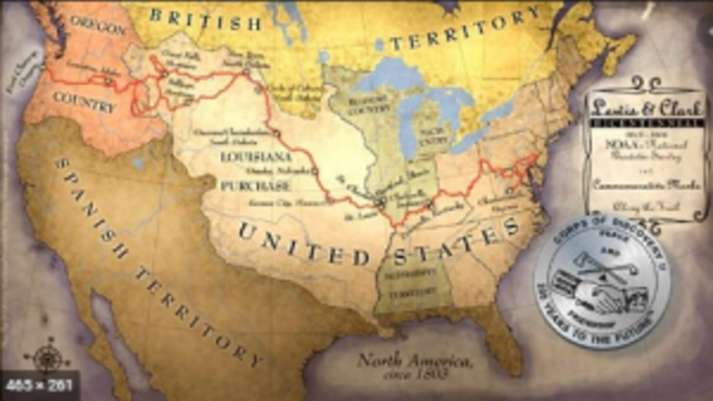
1803Lewis and Clark
Early exploration of the Mississippi and Missouri rivers also led to the earliest observations of Iowa’s land and geology, which were entered into the journals and sketchbooks of explorers such as Lewis and Clark in the early years of the 19th century.
MAPPING EXPEDITION
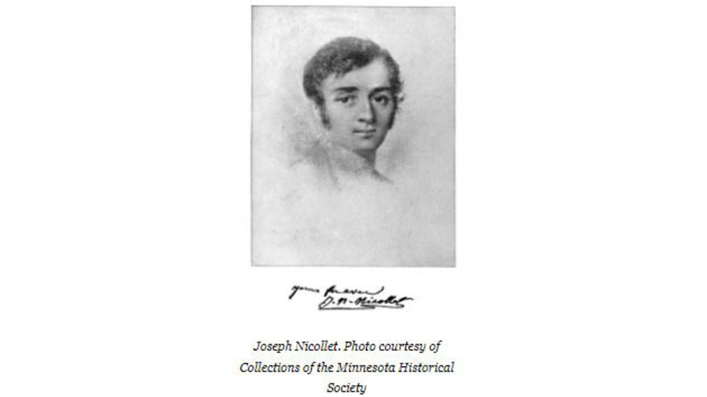
1838Jean N. Nicollet
Explorers were followed by settlers, who required a more purposeful geological reconnaissance and mapping. After the establishment of the Iowa Territory on July 4, 1838, French geographer Jean N. Nicollet led a party of the U.S. Army Engineering Corps in the preparation of a detailed map of the region, which included Iowa, most of Minnesota, and all of the Dakotas. This map (1843) was regarded as a major contribution to American geography.
IOWA’S FIRST GEOLOGICAL STUDY
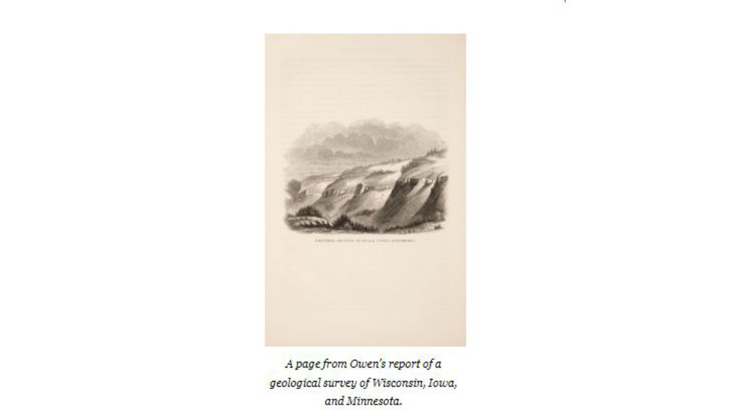
1839David Owen
In 1839, Dr. David Dale Owen was commissioned to make a geological reconnaissance of about 11,000 square miles in Wisconsin, Iowa, and Illinois to prepare a plan for the disposal of public mineral lands. Owen and his 139 assistants examined and mapped every quarter-section in the three-state area comprising the mineral lands of Dubuque, Mineral Point, and Galena districts. They also collected and labeled several thousand specimens.
This remarkable accomplishment is regarded as the first official geologic investigation in Iowa. The results of this and later, more extensive investigations of lands drained by the Upper Mississippi River system (1847–51), directed by the U.S. Treasury Department, were published in 1852 under the title Report of a Geological Survey of Wisconsin, Iowa, and Minnesota; and Incidentally of a Portion of Nebraska Territory. Most of the illustrations are from original sketches drawn in the field by either D.D. Owen or his brother, Richard.
THE FIRST STATE GEOLOGIST OF IOWA
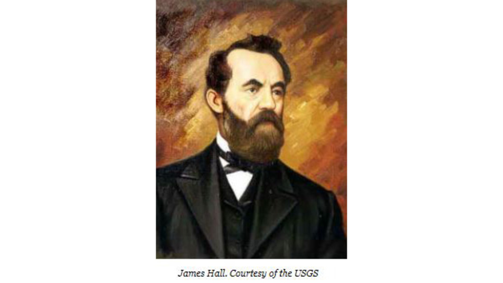
1855James Hall
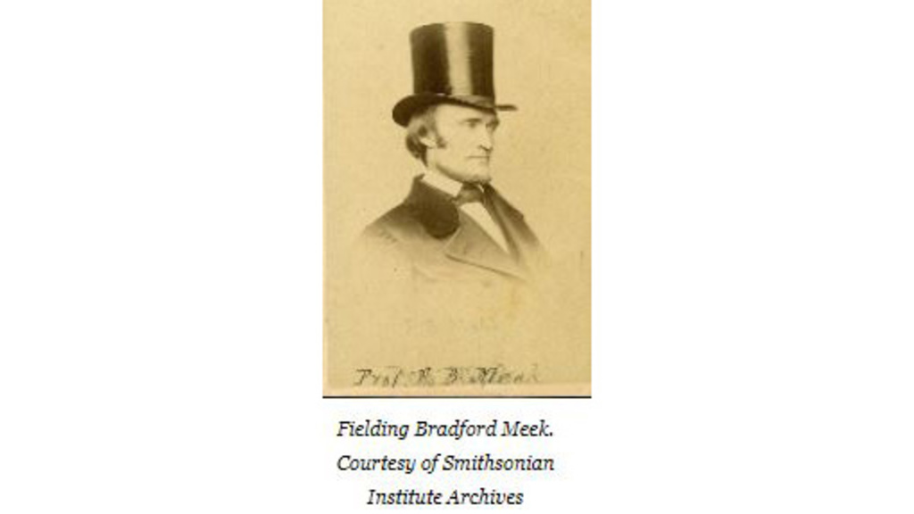
After Iowa was admitted to the union in 1846, the governor initiated the first geologic inquiry of the state. James Hall, who served as state geologist of Iowa from 1855 to 1858, set out to conduct a survey of Iowa’s geology. Hall’s work was funded for three years, and the results were published in a two-part volume in 1858. Part I focused on the general geology and stratigraphy of the eastern half of the state, including regional comparisons between the Paleozoic strata of the Midwest and that of New York and Pennsylvania, as well as information on the chemistry of coals and the distribution of lead/zinc and iron ores. Part II was devoted exclusively to the paleontology of this region and was regarded as a benchmark contribution to the knowledge of Carboniferous crinoids and echinoderms. Fielding B. Meek drew the beautifully detailed line drawings that illustrate the plates in this section. Hall’s energy and domineering, egotistical personality are legendary (Dott, 1985). Always short of funds, seldom in Iowa because of other involvements, and single-minded as well as devious in his quest for fossil collections, he still was unquestionably one of the most prominent scientists of his day and left a lasting influence on American paleontology, geological organizations, and state geological surveys.
ON THE TRAIL OF FOSSILS
1862Meek and Hayden
In 1853, James Hall sent Fielding Bradford Meek and Dr. Ferdinand V. Hayden on their first trip up the Missouri River to study the geology of the Dakota Badlands and collect fossils for him (Rabbitt, 1979).
Thus began their well-known expeditions into the western territories. The Cretaceous exposures they examined in the Sioux City area were among the first rocks of this age to be studied in America, and Meek and Hayden’s “Upper Missouri Section” described there (1862) remains a keystone in the formulation of Cretaceous stratigraphic nomenclature.
NEW LEADER, NEW APPROACH
1866Charles A. White
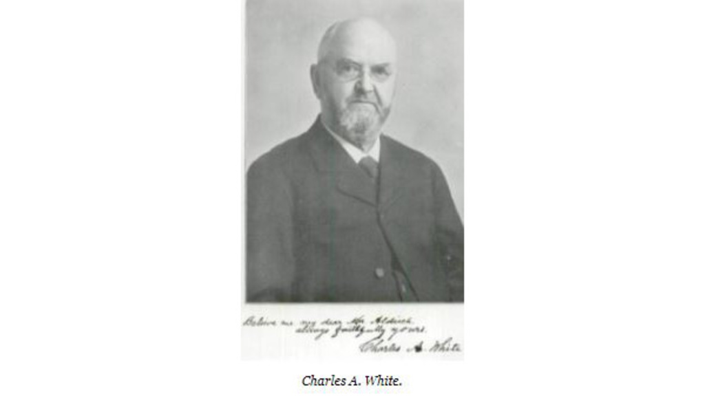
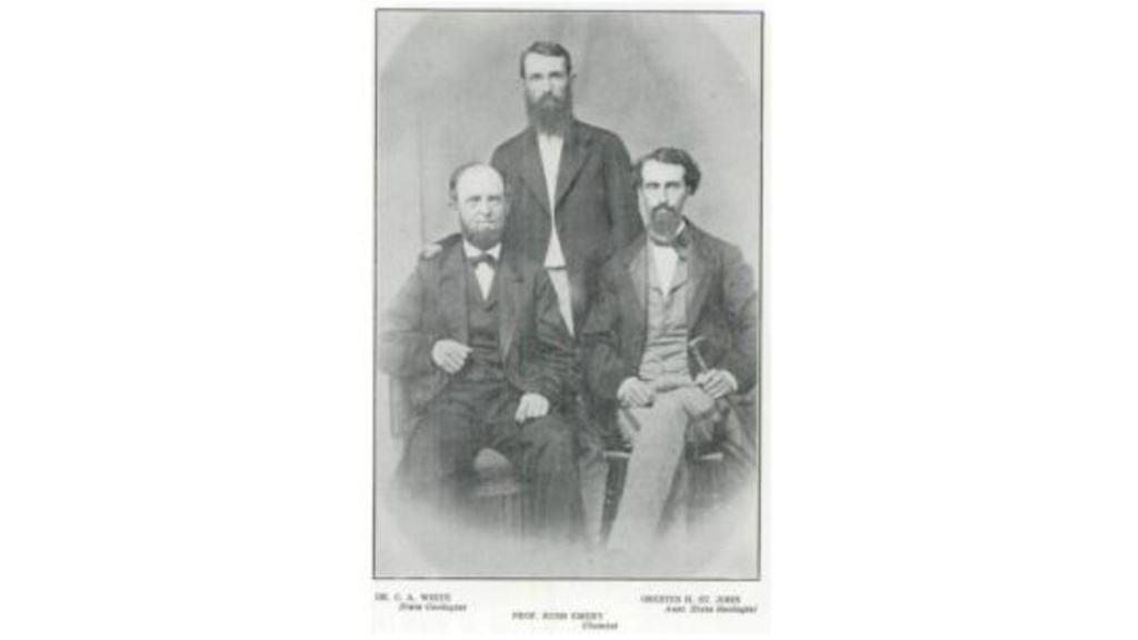
The Geological Survey of Iowa was reactivated from 1866 to 1869 under the direction of Dr. Charles A. White, also an M.D., who was largely self-educated in the study of natural history. White engaged Orestes H. St. John as assistant geologist and Rush Emory as chemist. White and his colleagues concentrated on the western part of the state. White and St. John also accompanied F.B. Meek on a traverse across southern Iowa in 1867 to help correlate the coal-bearing formations of Iowa with those that Meek and Hayden were mapping in Nebraska. A final report in two volumes was published in 1870 and included information on coal, gypsum, peat, and building materials, as well as geological summaries of the western counties. White’s generous acknowledgment of his coworkers in this report supports impressions that he was a kindly man, always ready to help and encourage others (Merrill, 1924), and he was highly respected by his students and colleagues at the State University of Iowa.
SCIENCE AND ART
1870For the People of Iowa
Geological pioneers St. John and Emory sought to carry out a complete geological and mineralogical survey that included the examination of rocks, fossils, ores, coals, and the quality of soils for agricultural purposes. Information on prairie and woodland vegetation, climate, and the potential of streams for navigation or power-generation was also included. Reports, maps, and specimens were to be assembled and the information communicated “to give the people of the State the greatest amount of practical information in relation to its resources” (White, 1870, p. 8). Among the illustrations in the 1870 report are 13 long-admired landscape lithographs known to have been drawn by St. John. In 1975, Ian Campbell, then with the California Academy of Sciences in San Francisco, forwarded six original pencil sketches that were found there and had been dated, signed, and annotated by St. John. Five of these sketches are of Iowa; four are the original field sketches for lithograph illustrations in the 1870 report; and the fifth sketch was drawn at one of the illustrated locations but of an opposite view (Prior and Milligan, 1985). St. John, like Owen and other geologists of the period, relied on his own artistic skills to document significant geologic characteristics of the regions he studied.
IMPORTANT CONTRIBUTIONS
1875An Interim Period
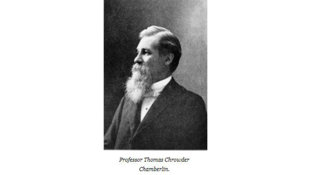
Other important contributions of this interim period included St. John’s work on Paleozoic fishes of the Midwest (1875), with many of the study collections from Iowa; T.C. Chamberlin and R.D. Salisbury’s report on the Driftless Area of the Upper Mississippi Valley (1886), which included part of Iowa; and Charles Wachsmuth and Frank Springer’s three-volume work on North American crinoids (1895), which was based on the prolific occurrence of these fossils in the Mississippi Valley region. In fact, the great sequence of limestones along the river bluffs in the vicinity of Burlington, Iowa, are also historically significant as the starting point for the classification of the “Lower Carboniferous” limestone, and thus compose the type locality for the Mississippian System, one of the basic divisions of geologic time recognized throughout the world (Wilmarth, 1925).
EARLY RECONNAISSANCE
1880Pioneering Geologists
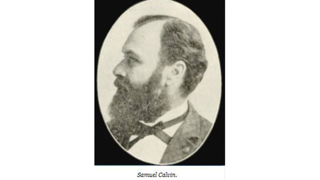
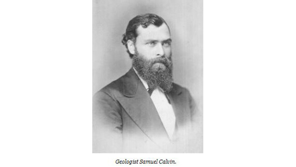
This early reconnaissance activity and these pioneering geological reports were of great value. They called attention to features and places of special interest in the state and established a preliminary framework of Iowa’s geology and its relationship to adjacent states that provided a valuable foundation for the more detailed studies that followed. Samuel Calvin, who was to lead the state geological survey of Iowa for almost the next 20 years, remarked, “Considering the limitations under which the earlier geologists labored, the extent and accuracy of their observations are matters of constant surprise to their successors” (Calvin, 1909, p. 11). Looking today at the work of Calvin and his colleagues, we too admire the scope and value of their achievements under what we would regard as trying circumstances.
APPEALING TO THE PUBLIC
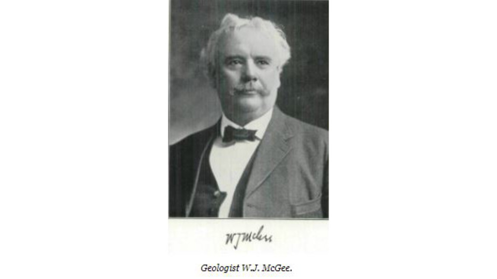
1892W.J. McGee
Geological work under the auspices of the state lapsed again, this time until 1892. In the meantime, Iowa native W.J. McGee prepared and published a report on “The Pleistocene History of Northeastern Iowa” in 1891 in the 11th Annual Report of the U.S. Geological Survey. This detailed and interestingly written account was regarded as the most important contribution to Iowa geology to follow White’s reports. In addition, its appeal to the general public is credited with broadening the base of interest in geology and with developing an appreciation of the need for and support for a more comprehensive geological survey of the state (Arey, 1912).
IOWA GEOLOGICAL SURVEY
1892Samuel Calvin
Iowa established a permanent geological survey as a separate agency of state government in 1892. In accordance with legislative provisions, the state also established a Geological Board to govern the broad administrative policies of the survey and to appoint the state geologist. (This board was dissolved in December 1980, and the governor now appoints the state geologist—currently Dr. Keith Schilling.)
The board was composed of the governor, the state auditor, and the presidents of Iowa State University, the University of Iowa, and the Iowa Academy of Science. They elected Professor Samuel Calvin, chair of the Department of Geology at the University of Iowa, as state geologist, and from that time until 1947 (through the Wilder, Kay, and Trowbridge administrations), both positions were held by the same individual.