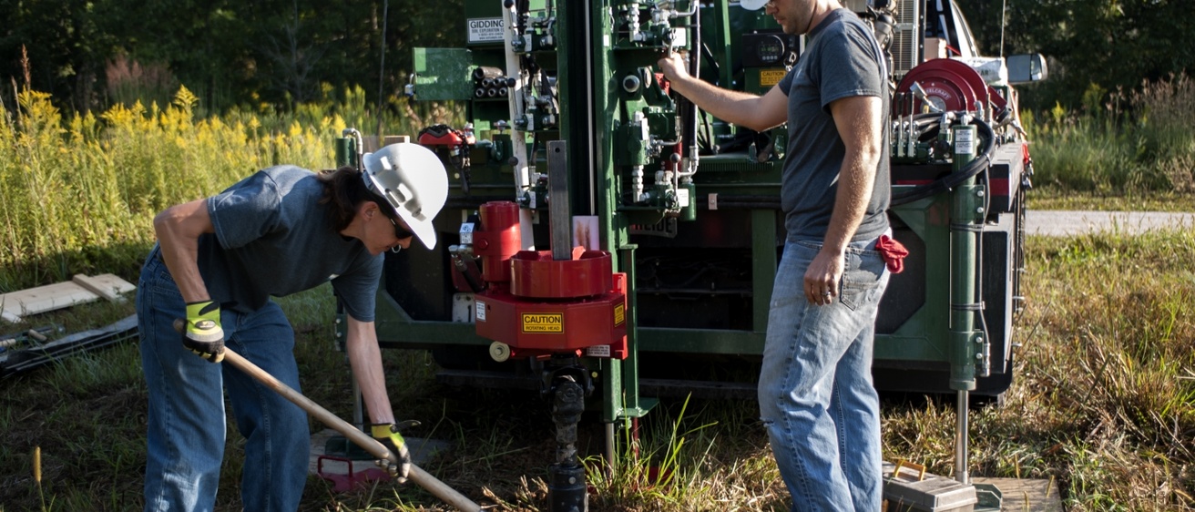
In 2017, the Iowa Geological Survey (IGS) obtained a new drill rig for groundwater monitoring, soil health studies, geologic mapping, and more.
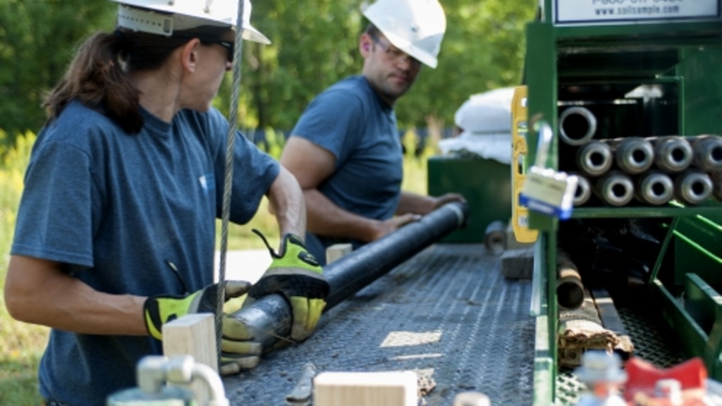
The IGS maintains a #35-SCS Giddings drilling machine mounted on a RAM 5500 truck. The drill is capable of continuous core sampling with a hollow stem auger system to 50 feet, as well as solid stem flight auger sampling to the same depth. The drill is also equipped with a “direct push” hydraulic soil sampling system. The drill is further capable of performing well pump tests to 300 feet. Matthew Streeter is a soil scientist at the Iowa Geological Survey and an Iowa-licensed well driller. He is responsible for the operation and maintenance of the IGS drill rig.
Projects
Iowa Watershed Approach
- Sponsors: Iowa Flood Center, Iowa Economic Development, and others, with funding from the Department of Housing and Urban Development
- Background: The Iowa Watershed Approach (IWA) is a statewide flood mitigation and water-quality project.
- Goals: To support geologic mapping to help determine the best locations for drainage basins or new ponds to help slow water runoff and reduce flooding for the IWA
- IGS Strategies: In fall 2017, IGS staff used the hollow stem auger to drill 20 of these groundwater monitoring wells.
STATEMAP
- Sponsors: U.S. Geological Survey
- Background: The STATEMAP program supports detailed geologic mapping of Iowa, with particular emphasis on solving environmental problems. These maps provide a detailed view of the geologic materials that most affect Iowans’ day-to-day activities, and give users a sound base of geologic information from which to make resource decisions.
- Goals: Information developed by STATEMAP projects is used to address a variety of environmental problems including the evaluation of surface and subsurface drainage problems, vulnerability of groundwater to contamination, suburban expansion into areas of sinkholes (karst), water quality and quantity issues, identification and protection of aggregate resources, and flood management.
- IGS Strategies: The IGS team uses the drilling equipment to collect continuous soil cores for use in detailed geologic mapping, with particular emphasis on solving environment problems
Agricultural Best Management Practices
- Sponsors: Iowa Department of Agriculture and Land Stewardship, Iowa Nutrient Research Center, USDA Natural Resources Conservation Service, and others
- Background: A statewide effort to improve Iowa’s water quality and reduce Gulf of Mexico hypoxia
- Goals: Reduce soil erosion, keep water on the landscape longer, and reduce nitrogen and phosphorus in groundwater before it leaves a watershed
- IGS Strategies: Install and monitor in-field and edge-of-field conservation practices, including saturated buffers, blind inlets, grassed waterways, and more
Services
The IGS drill rig provides a unique look at Earth’s history, which even recently may have been buried and inaccessible from today’s land surface by any other method aside from drilling.
The IGS has been able to successfully provide samples to archaeologists interested in ancient buried civilizations, as well as samples of ancient buried soils to microbiologists that could be keys to understanding the microbial populations and climate of today’s world. The possibilities are truly endless when we start to consider what lies beneath our feet.
Contact Us

Matthew Streeter
Soil Scientist
Soil Processes
PhD, Iowa State University
340C Trowbridge Hall
319-335-1593
matthew-streeter@uiowa.edu