Iowa Geological Survey can provide information and resources related to the geologic hazards that occur in Iowa — for example, sinkholes, earthquakes, and more.
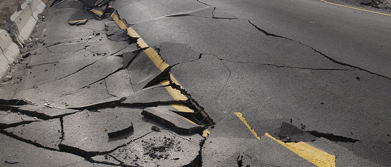
Earthquakes
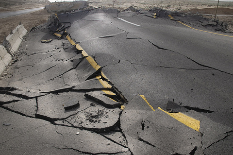
Iowa Geological Survey geologists have information on historic Iowa earthquakes and significant earthquakes in other areas of the midcontinent. Only 12 earthquakes with epicenters in Iowa are known in historic times.
The first known occurred in 1867 near Sidney in southwest Iowa, the most recent in 1948 near Oxford in the east-central part of the state. The largest (Mercalli magnitude VI) occurred near Davenport in southeast Iowa in 1934. None of these events was instrumentally recorded.
A map of the risk of earthquakes can be found through the USGS.
Mine Collapse
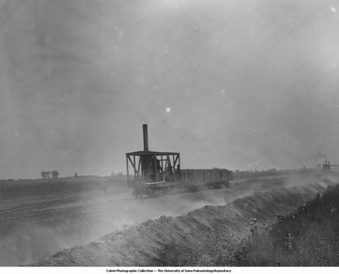
Although Iowa is not thought of as a mining state, the state once had many coal mines. Most of Iowa’s coal mines were underground mines, possibly as many as 6,000 in 38 counties, affecting up to 80,000 acres. Iowa also has eight underground limestone mines.
Long-lasting detrimental effects of underground mining include subsidence, the process by which the land surface sinks from collapse of the mine roof or failure of the support pillars.
Most of Iowa’s coal mines were underground mines, possibly as many as 6,000 in 38 counties, potentially affecting 80,000 acres. Iowa contains eight underground limestone mines. Long-lasting detrimental effects of underground mining include subsidence, the process by which the land surface sinks from collapse of the mine roof or failure of the support pillars.
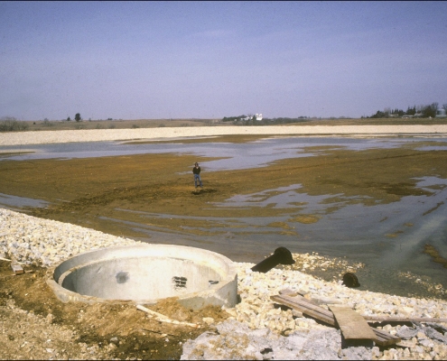
A collection of numerous coalmine maps, blueprints and maps of underground limestone mines are used to evaluate areas of suspected subsidence. The Department of Natural Resources maintains an online map that features all Iowa Coal Mines.
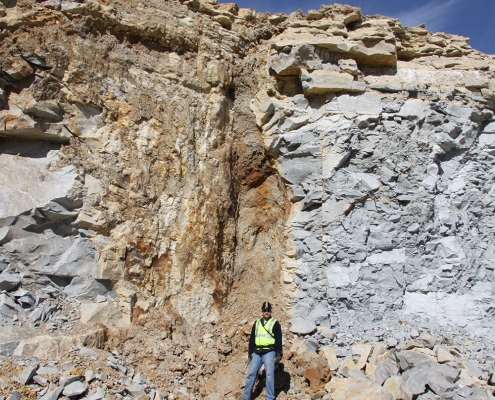
Karst Sinkholes
Karst refers to geologic, hydrologic, and landscape features associated with the dissolution of soluble rocks, such as carbonates and evaporites. A common feature of karst landscapes are sinkholes, which form when the land surface collapses into subsurface voids formed in the slowly dissolving rock. In Iowa, carbonate rocks form the uppermost bedrock over roughly the eastern half of the state, and are mantled with a variable thickness of glacial and other unconsolidated materials. Where these unconsolidated materials are less than 50 feet, and particularly less than 25 feet thick, sinkholes may occur. There are three areas in Iowa where large numbers of sinkholes exist: (1) within the outcrop belt of the Ordovician Galena Group carbonates in Allamakee, Clayton, and Winneshiek counties; (2) in Devonian carbonates in Bremer, Butler, Chickasaw, and particularly Floyd and Mitchell counties; and (3) along the erosional edge of Silurian carbonates in Dubuque and Clayton counties.
Most of Iowa’s sinkholes occur in rural areas where their main impact is rendering some land unsuitable for row-crop agriculture. Sinkholes have also resulted in the failure of farm and other types of ponds, roads, and one sewage-treatment lagoon. As sinkholes sometimes allow surface runoff to directly enter bedrock aquifers, their presence has implications for groundwater quality.
|
|
Floodplains
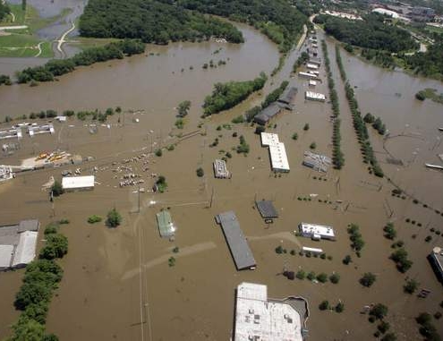
Iowa’s diverse rivers and streams share a common set of hazards associated with flooding and high river stages. These include inundation, sedimentation, and channel erosion.
The Iowa Geological Survey maintains records on the composition of floodplain deposits and has personnel that are knowledgeable about the behavior of Iowa’s rivers and their impacts on society.
More information on flooding can be found with our affiliate, the Iowa Flood Center.
For more information, contact Ryan Clark or Phil Kerr.