Iowa’s earth materials record a geologic history that goes back almost 3 billion years. Iowa has been shaped by seas, glacial ice, strong winds, and flowing rivers during the geologic past.
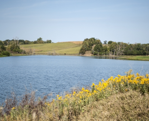
Generally, Iowa’s bedrock originated as layers of loose sediment accumulating in shallow seas and along coastal and floodplain environments. Fossil-bearing rocks, such as those found at the Devonian Fossil Gorge at the Coralville Dam, are evidence of these seas. The bedrock surface is covered with younger sediments that originated from ice sheets, meltwater streams, and strong winds during a series of glacial events. This material has weathered into Iowa’s productive loamy soils, eroding into for the gently rolling appearance of much of the Iowa landscape.
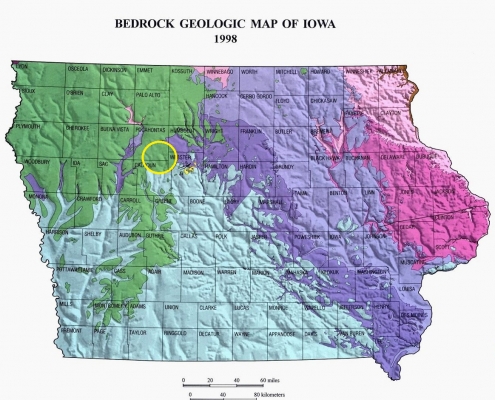
Rock Units
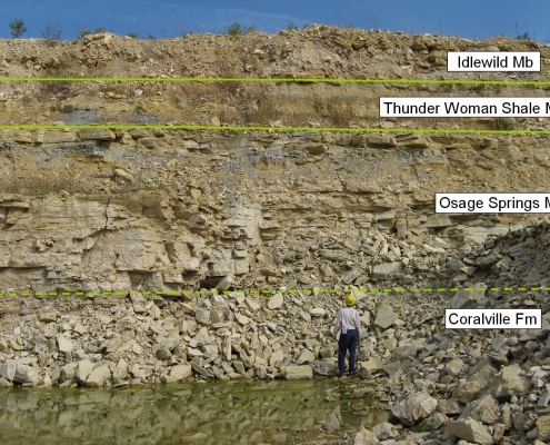
The Iowa Geological Survey is continuously increasing our understanding of the rock units (or stratigraphy) of Iowa. Knowledge of each rock unit, its aerial extent, its physical and chemical characteristics, and how it interacts with other units are critical to address groundwater needs, mineral resources, pollution problems, and almost every other aspect of geology in Iowa.
Almost 450 rock units were deposited in the last 3 billion years in the area that is now Iowa. The oldest known unit is the Otter Creek Mafic Complex (about 2.95 billion years old); the youngest is the Wisconsin-age glacial drift of the Des Moines Lobe (about 10,000 years old). Additionally, we study river sediments still being deposited today.
Links: The Stratigraphic Column of Iowa and its nomenclature.
For more information, contact Ryan Clark.
Glacial-Age Deposits
Materials from several different glacial advances cover different parts of Iowa and bury most of the sedimentary bedrock foundation from view. Other earth materials near the land surface also accumulated during glacial episodes, including loess (deposits of wind-blown silt) and alluvium (sand and gravel transported by glacial meltwater streams).
For more information, contact Stephanie Tassier-Surine.
Geographic and Locational Information
The determination of the location of particular features or of distributions of phenomena on the earth’s surface and subsurface is a necessary part of geology, and methods developed to find and record locations have become an important tool for all earth scientists.
Locational relationships between two phenomena, whether they are close together or thousands of miles apart, may be relevant to an understanding of how they fit within the whole earth system. Geologists at the Iowa Geological Survey use a variety of spatial tools, including remote sensing technology, geographic information systems (GIS), USGS topographic maps, and aerial photography.
The NRGIS library provides many GIS coverages of Iowa.
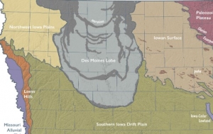
Landform Features
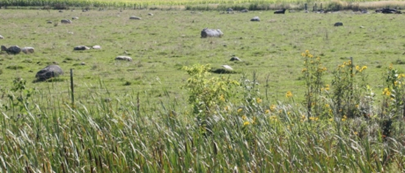
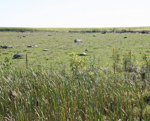
Iowa’s landscape varies widely in appearance from place to place across the state. Individual landform shapes reflect the diverse effects of deposits left by glaciers, wind, rivers, and seas in the geologic past. Examples include loess hills, moraines, kettles, kames, paha, sinkholes, caves, springs, algific slopes, oxbow lakes, and entrenched valleys.
For more information, contact Stephanie Tassier-Surine or visit our Landforms of Iowa section.
Issues Related to Natural Resources and the Environment
Geologists are frequently asked for information and perspective needed to resolve environmental issues in today’s society, balancing the needs of agriculture, industry, the environment, and citizens.
Iowa’s earth-related issues include land-applied agricultural chemicals, areas where groundwater supplies are vulnerable to contamination, areas of shallow limestone (karst conditions), mineral resource reserves, adequate groundwater supplies, and disposal of waste materials. Some current topics of statewide concerns include, but are not limited to the increase in large hog-confinement operations and how the animal wastes are stored, mining of bedrock sandstone units for the petroleum industry, and over-use of the Jordan aquifer. The Iowa Geological Survey is dedicated to conducting foundational research to help Iowans effectively manage our natural resources for long-term sustainability and economic development.
The Iowa Geological Survey is dedicated to conducting foundational research to help Iowans effectively manage our natural resources for long-term sustainability and economic development. Visit our Research page for more information.