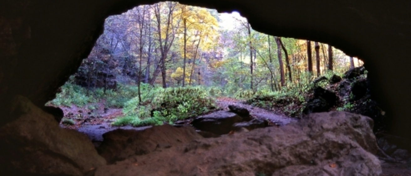
Limestone and dolomite, which are carbonate rocks, are common in Iowa. Groundwater percolating through cracks dissolves the rock, creating wide fractures, pipes, and voids. Sometimes the dissolved areas connect to form tunnels and even large caverns. When the rock is close to the land surface, these voids may collapse and produce sinkholes. Landscapes dominated by caves and sinkholes are referred to as karst topography.
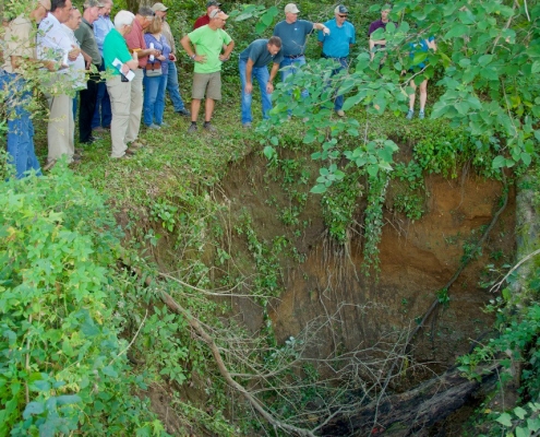
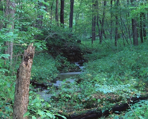
Landscapes dominated by karst features are capable of transmitting large quantities of groundwater at quite fast rates. However, sinkholes allows surface runoff and any associated contamination to directly enter these rock strata. When sinkholes or enlarged fractures occur in stream valleys, entire streams may disappear into the rock. These streams are called “losing streams.” Similarly, water may flow out of the rocks at springs.
Water flowing through karst features has a high calcium carbonate content (from the dissolved the rock). Cave features, such as stalactites, stalagmites, columns, and flowstone, form as water drips through an air-filled cave.
Northeastern Iowa’s landscape features abundant sinkholes, cold water springs, disappearing streams, and caves. Here are just a few family-friendly places to observe and appreciate these features firsthand.
Maquoketa Caves State Park
Jackson County, Iowa
The most popular place to appreciate Iowa’s caves is Maquoketa Caves State Park in Jackson County, Iowa, where a beautiful trail system connects a variety caves, rock formations, and overlooks. Maquoketa Caves has more caves than any other state park in Iowa, so plan to spend a full day here to fully appreciate the park’s trails and caves.
Caving advice: Bring flashlights and old clothes, as you will get damp and dirty! Prior to your visit, check out information on the Iowa Department of Natural Resources website to check that caves and trails are open to the public.
For more detailed information about the geology of Maquoketa Caves State Park, see: Geological Society of Iowa Guidebook 72.
Backbone State Park
Delaware County, Iowa
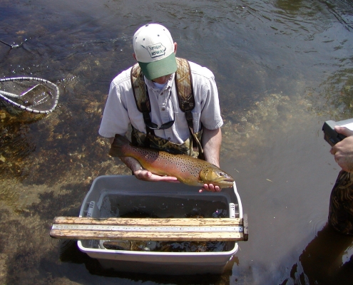
Backbone is another full-day adventure with miles of hikes, including a trail along the steep bedrock ridge (called the Devil’s Backbone), a cave, and an active natural cold water spring that feeds a coldwater stream, which is perfect for trout fishing. A careful inspection of the exposed rocks reveal a plethora of fossils from the shallow seas that once covered the state.
For more detailed information about the geology of Backbone State Park, see: Geological Society of Iowa Guidebook 61.
Visit the Iowa Department of Natural Resources website for more information.
Big Spring Trout Hatchery
Clayton County, Iowa
Big Spring is the largest cold-water spring in the state, with flows of about 20,000 to 30,000 gallons per minute. What better place to locate a trout hatchery! About 150,000 rainbow trout are raised at Big Spring and stocked by hatchery personnel into cold-water streams in northeast Iowa. This is an especially fun stop for children to see where the fish are raised. There is even a kid’s fishing pond!
Visit the Iowa Department of Natural Resources website for more information about visiting hatcheries in Iowa.
The Big Spring Basin is dominated by karst features—springs, sinkholes, and disappearing (losing) streams.
For more detailed information about the geology of Big Spring Basin, see: Guidebook Series GB-15. For an interesting history of Big Spring, see Technical Information Series TIS-30.
For more information about Iowa caves, visit the Travel Iowa website. Visit the IGS page on Iowa Parks for information on more Iowa parks.