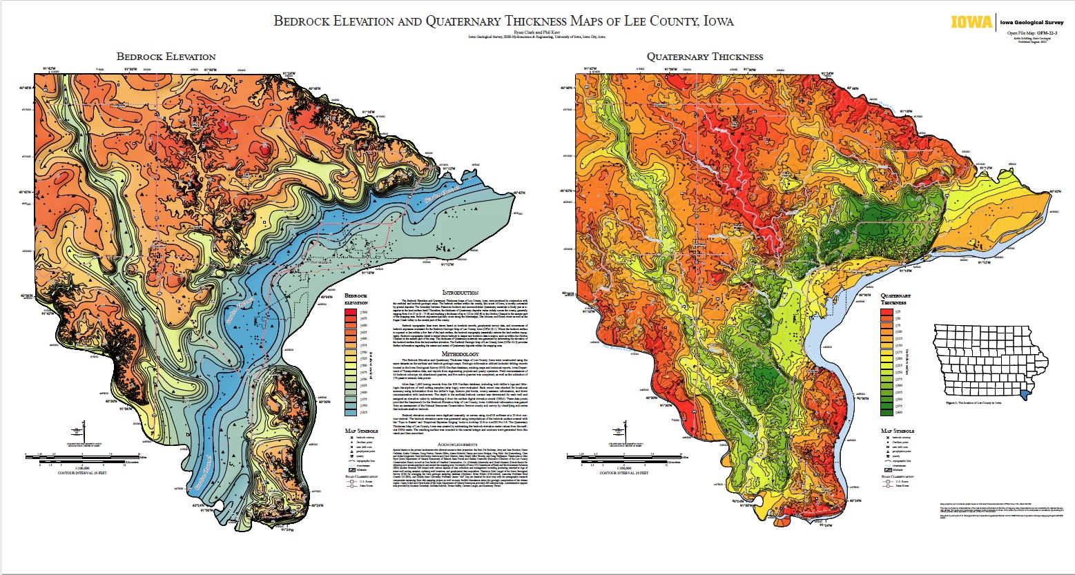
Iowa Geological Survey staff recently completed 10 map products as part of the US Geological Survey STATEMAP program. The project included bedrock and surficial geologic mapping in Lee and Muscatine counties, a surficial map of the Outlet Creek watershed in Buena Vista County, and a groundwater vulnerability map of Benton County.
These maps can be found on the IGS publications page (search for OFM-22-1 through OFM-22-10): https://www.iihr.uiowa.edu/igs/publications/publications?category=Open-File-Maps-(digital-maps)