News
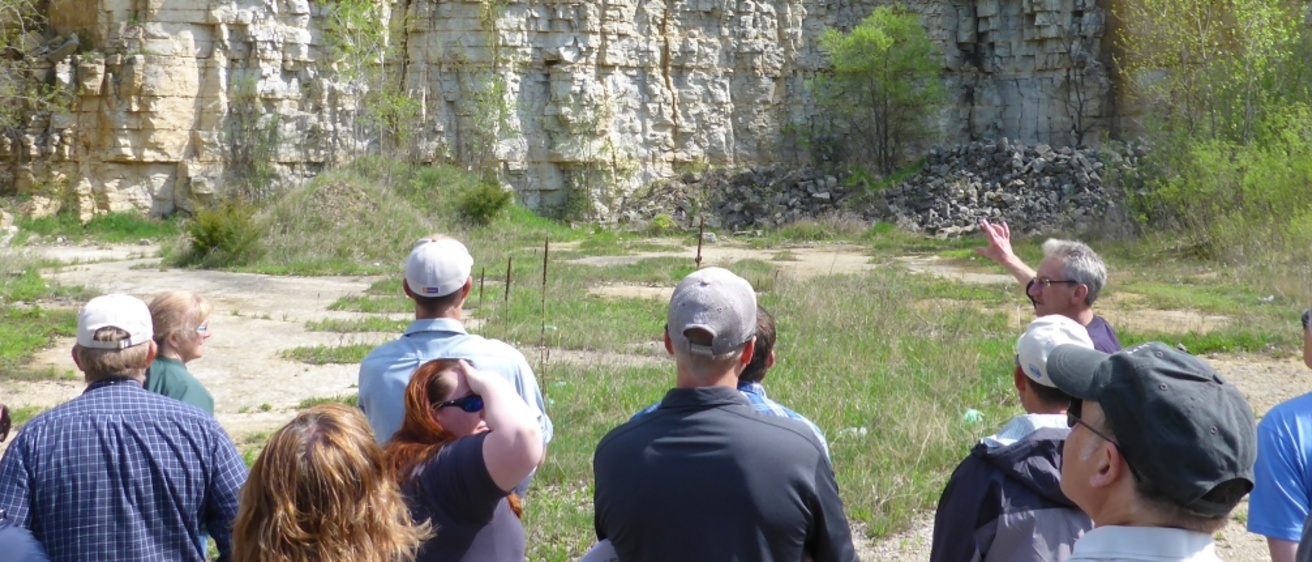
New maps published as part of USGS STATEMAP program
Wednesday, September 14, 2022
Iowa Geological Survey staff recently completed 10 map products as part of the US Geological Survey STATEMAP program.
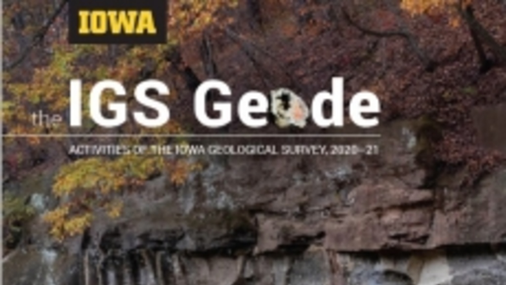
Latest issue of The IGS Geode published
Tuesday, January 18, 2022
Please enjoy an online copy of our magazine, The IGS Geode, showcasing some of the Iowa Geological Survey’s activities during the past year.

Funding to support renewable energy industries in Iowa
Thursday, September 23, 2021
State Geologist Keith Schilling is co-PI on a new four-year project funded by the US National Science Foundation through its Established Program to Stimulate Competitive Research.

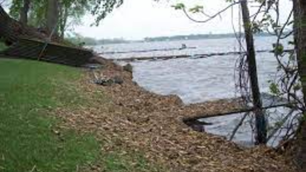
Eroding streambanks contribute phosphorus export
Monday, August 23, 2021
Eroding streambanks contribute a third or more of the phosphorus export from the state, according to estimates from ground-breaking research led by Keith Schilling and Matthew Streeter from the Iowa Geological Survey at the University of Iowa, along with co-investigators from Iowa DNR, Iowa State University and USDA.
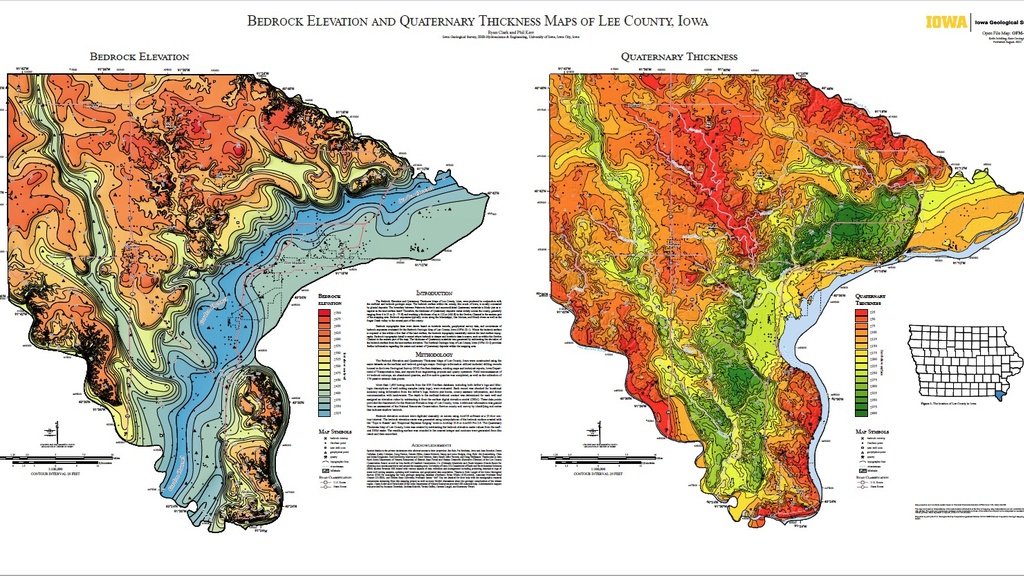
Iowa Geological Survey invites public to discuss new mapping project around Storm Lake
Monday, June 28, 2021
The Iowa Geological Survey at the University of Iowa invites the public to a discussion regarding plans to map the geological features of the Outlet Creek Watershed and the area surrounding Storm Lake.