
A New Age in Monitoring Iowa’s Aquifers
Wednesday, September 13, 2023
The IGS monitors groundwater levels in 48 wells scattered across Iowa that are completed in most of the major bedrock aquifers. These wells provide a historical record of groundwater levels and help evaluate aquifer sustainability.
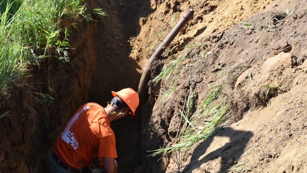
Assessing the Effectiveness of Modified Blind Inlets in Southeast Iowa
Thursday, August 17, 2023
Since 2019, the Iowa Geological Survey led by Matthew Streeter has been quantifying reductions in nitrate, phosphorus, and sediment concentrations at multiple sites in Keokuk, Scott, and Wapello counties in Iowa.
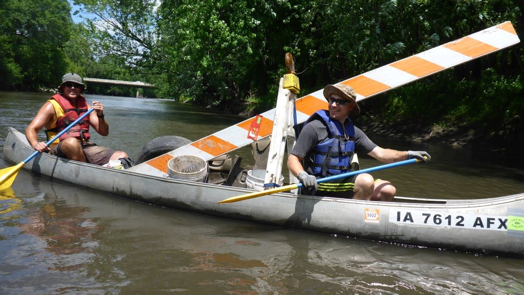
The Iowa Geological Survey and Iowa Project AWARE: A Match Made in Mud!
Wednesday, August 2, 2023
For the past 20 years Iowa Project AWARE (A Watershed Awareness River Expedition) has been cleaning up Iowa’s rivers with the help of hordes of volunteers and a few dedicated staff members. The Iowa Geological Survey (IGS) has participated just about every year, from helping haul trash to giving educational programs.
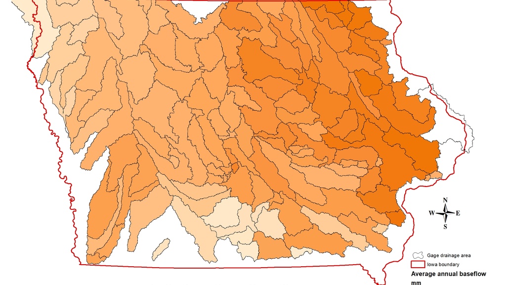
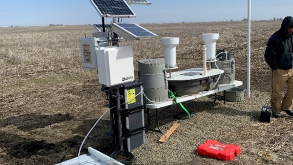
Groundwater Quantity Challenges for Iowa's Unconfined Aquifers
Wednesday, June 28, 2023
Iowa relies on groundwater, especially unconfined aquifers, for drinking water and agriculture. Climate change affects recharge and sustainability. Alluvial aquifers face risks from drought and demand. Strategies like floodplain features and better pumping management enhance sustainability.
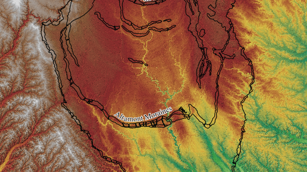
Timing of the Des Moines Lobe
Wednesday, June 7, 2023
Central Iowa was glaciated by the Des Moines Lobe, which advanced quickly and lacked features like drumlins, eskers, and kames. Scientists determine the timing of ice advance by radiocarbon dating organic materials in glacial sediment. The calibrated ages show that the Des Moines Lobe reached Des Moines around 15,700 to 16,000 years ago and advanced rapidly at a rate of 1-2 km per year.