
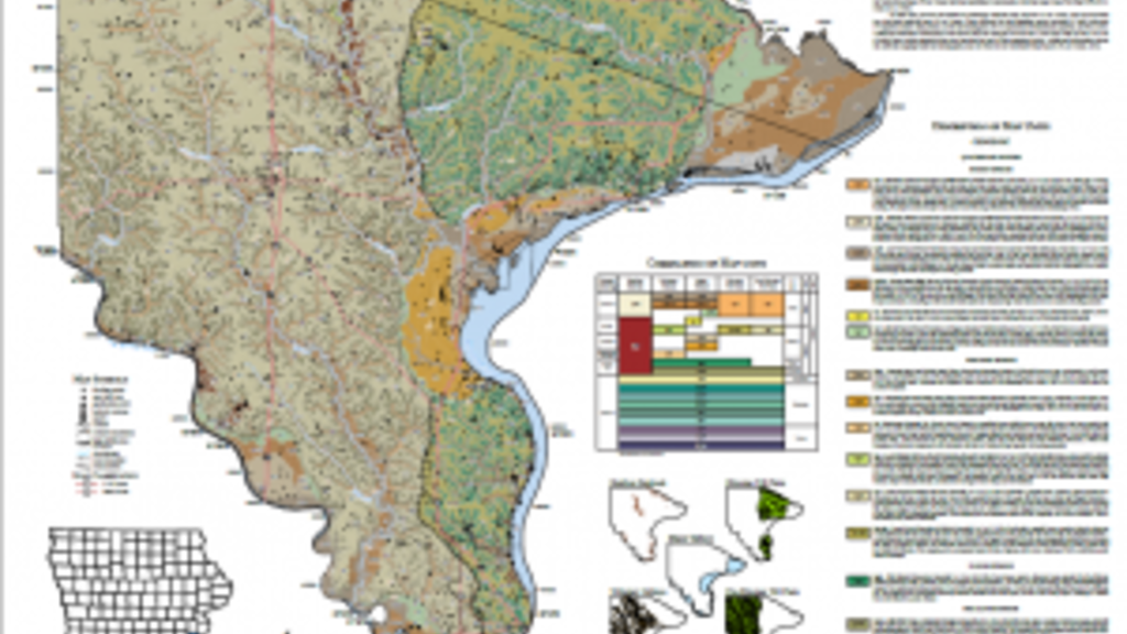
Geologic mapping at the Iowa Geological Survey
Wednesday, March 1, 2023
Geologic maps have tremendous societal, economic, and educational value. Bedrock and surficial geologic maps may be used to assist in aggregate resource evaluations, flood protection, hazard identification (sinkholes and karst), and water resource assessments.
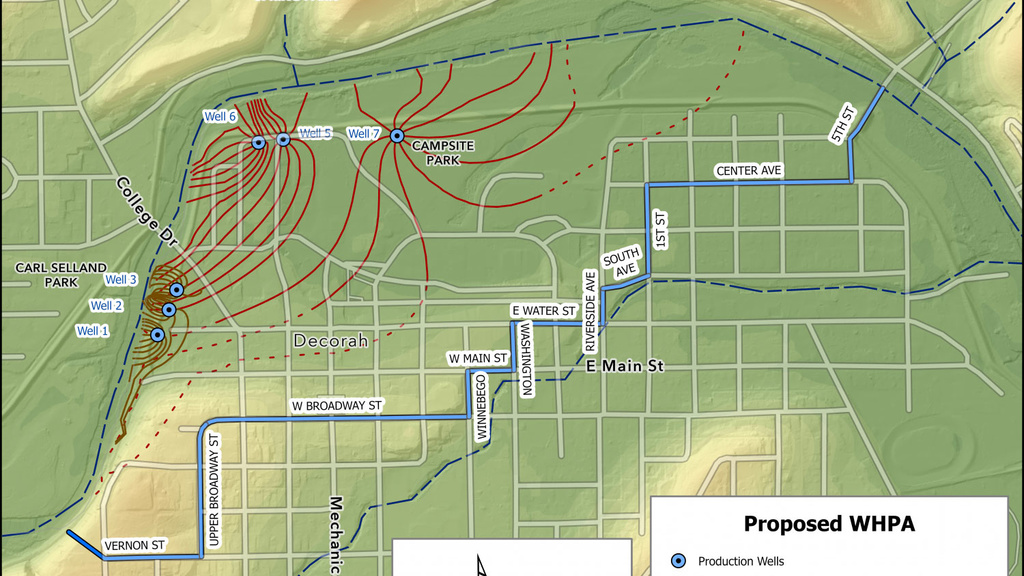
Source Water Delineation for Communities
Friday, January 20, 2023
For better and more accurate source water delineations, IGS is available to assist communities with their well head protection planning, especially in the crucial delineation of the well head protection area.
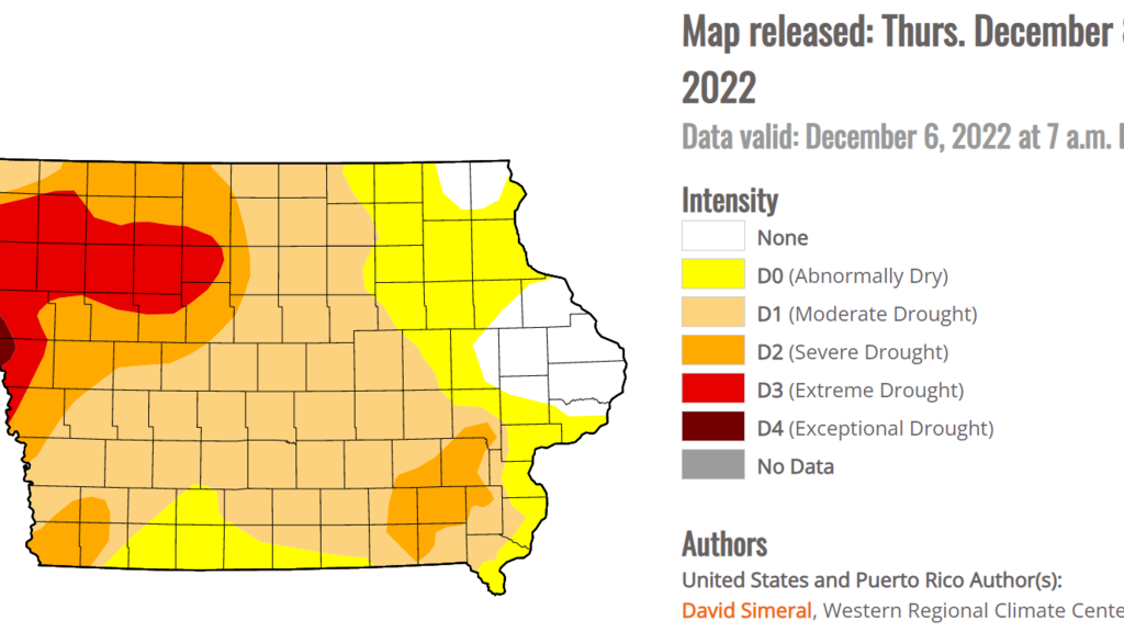
Drought Regions of Iowa
Wednesday, December 14, 2022
The Iowa Geological Survey (IGS) has significantly assisted in creating the drought plan by providing scientific expertise on the state’s regional characteristics and available hydrologic data.
Questions Answered
Friday, August 26, 2022
Check out IGS GeoCore if you have questions about what a certain type of rock looks like. You may be able to find your answer.
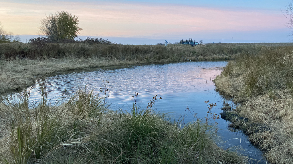
A Day in the Field
Friday, April 29, 2022
Waking up early or working into the early evening allows us to see some great sunrises and sunsets, and some field sites are located off the beaten track, enabling us to see wildflowers and native aquatic or bird species up close.