Imaging Iowa’s Levees
Thursday, May 4, 2023
Iowa has approximately 700 miles of levees protecting towns, agricultural land, and other infrastructure. Assessing the condition of levees is a critical component to ensure they remain strong during flood events. The IGS recently established methods to use geophysics to image levees via a pilot investigation with the Iowa Department of Homeland Security and Emergency Management
Geologic mapping at the Iowa Geological Survey
Wednesday, March 1, 2023
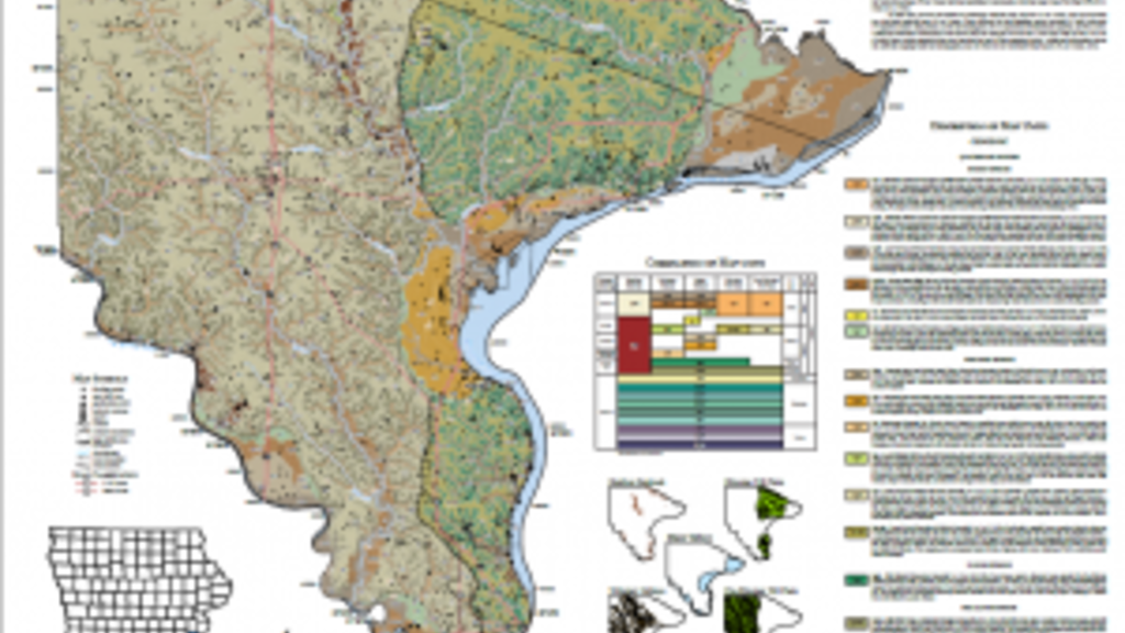
Geologic maps have tremendous societal, economic, and educational value. Bedrock and surficial geologic maps may be used to assist in aggregate resource evaluations, flood protection, hazard identification (sinkholes and karst), and water resource assessments.
Source Water Delineation for Communities
Friday, January 20, 2023
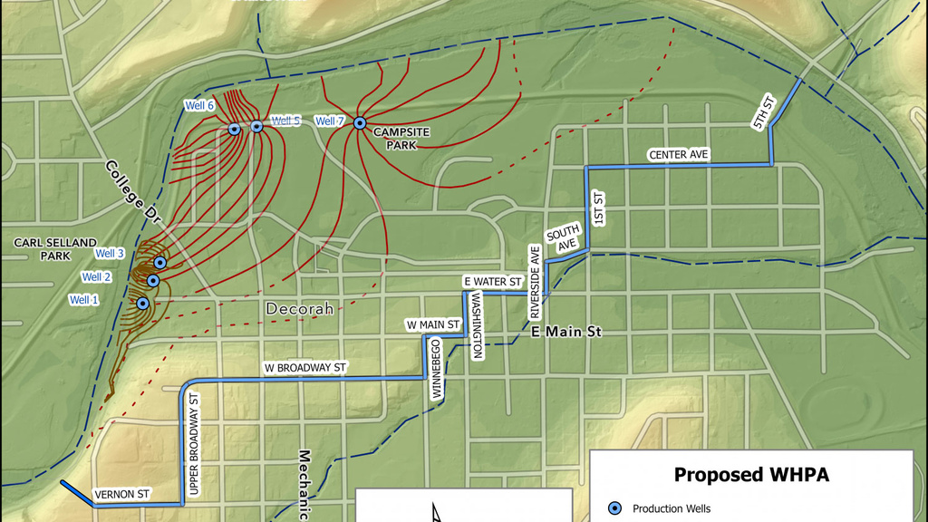
For better and more accurate source water delineations, IGS is available to assist communities with their well head protection planning, especially in the crucial delineation of the well head protection area.
Drought Regions of Iowa
Wednesday, December 14, 2022
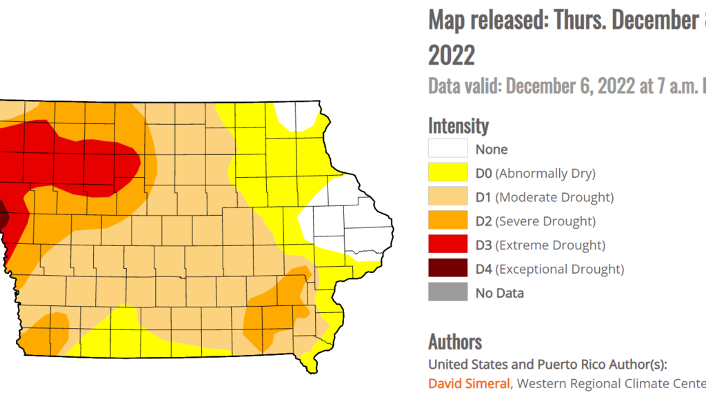
The Iowa Geological Survey (IGS) has significantly assisted in creating the drought plan by providing scientific expertise on the state’s regional characteristics and available hydrologic data.
Questions Answered
Friday, August 26, 2022
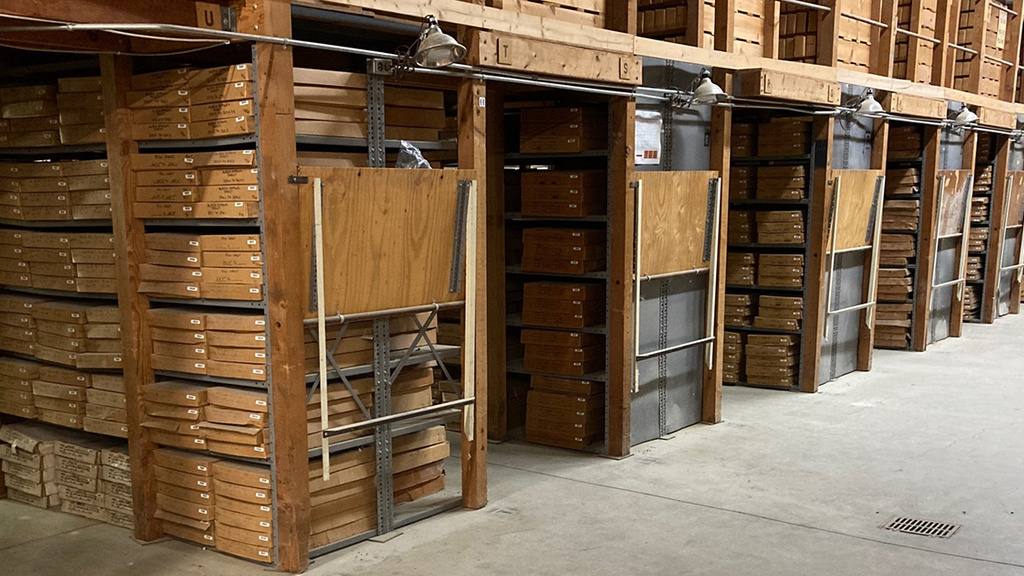
Check out IGS GeoCore if you have questions about what a certain type of rock looks like. You may be able to find your answer.
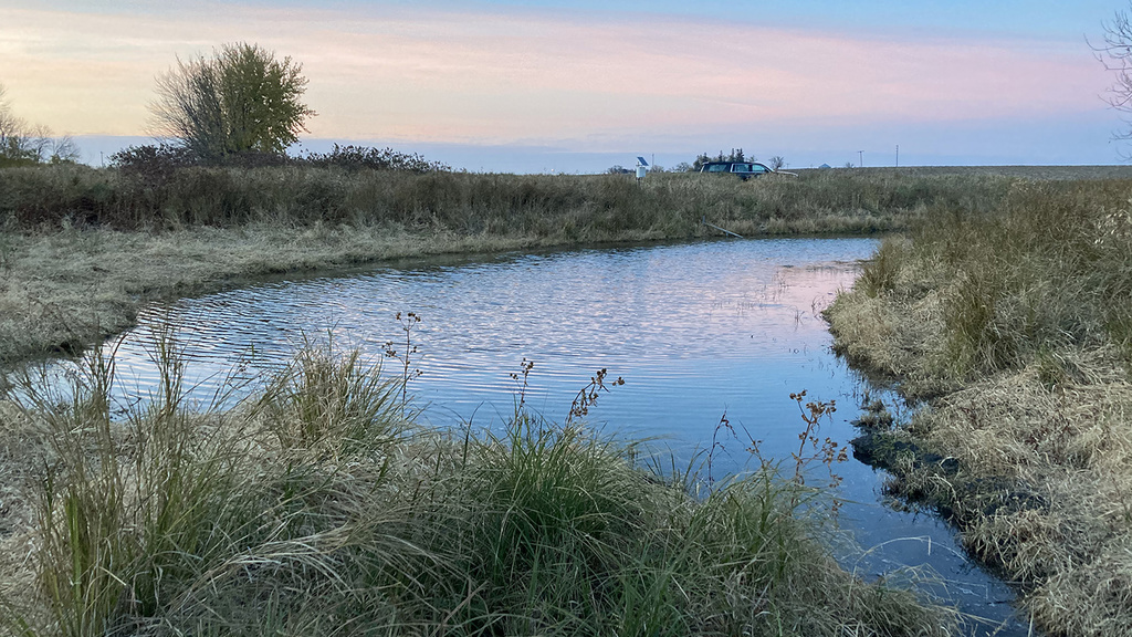
A Day in the Field
Friday, April 29, 2022
Waking up early or working into the early evening allows us to see some great sunrises and sunsets, and some field sites are located off the beaten track, enabling us to see wildflowers and native aquatic or bird species up close.
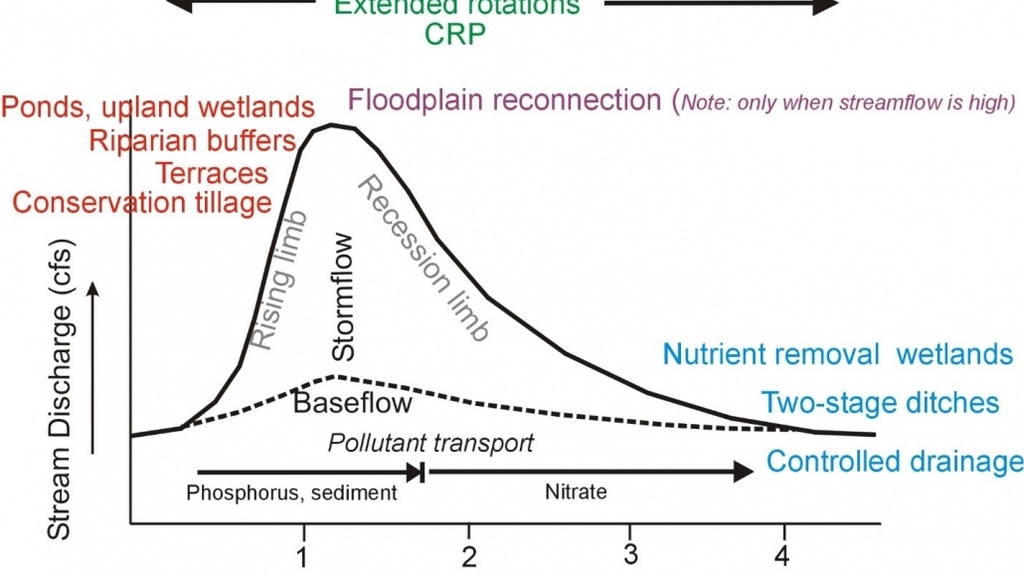
Water Farming for Conservation
Monday, March 28, 2022
The key component needed for water farming is thinking about how water moves across your field and then designing a water management system that meets your goals.
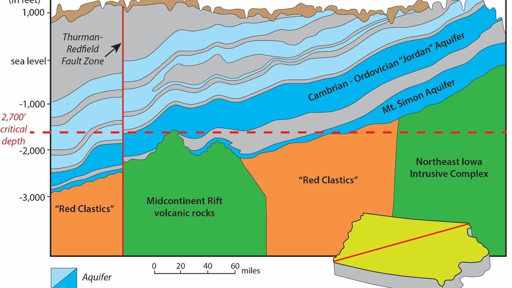
What is Carbon Sequestration and Why Should Iowans Care?
Friday, January 28, 2022
If Iowa wants to get serious about doing its part to combat climate change then investments will need to be made to better understand the potential for geologic storage of CO2 in Iowa. . . . The IGS stands ready to lead this charge while collaborating with industry partners and lawmakers to make sure that Iowans do not miss the opportunity to play an integral role in securing a better climate future for our state.
Reflections from a Retiring Hydrogeologist
Monday, January 10, 2022
Water is a critical for life and prosperity, and the investment in protecting and managing Iowa’s water resources is essential.

The Inside Story
Tuesday, November 30, 2021
The Iowa Geological Survey (IGS) has a long and illustrious history in the state, beginning in 1855, when legislation proposed by Governor James W. Grimes provided for a geological survey of the state, which was led by State Geologist James Hall. It was the start of great things for the state of Iowa, with its many geological resources. Iowa established a permanent geological survey as a separate agency of state government in 1892
Pagination
